National
Binga flood victims still stranded two years later
BY N0KUTHABA DLAMINI
The government is still struggling to provide shelter to hundreds of people whose homesteads were destroyed by floods in Binga almost two years ago.
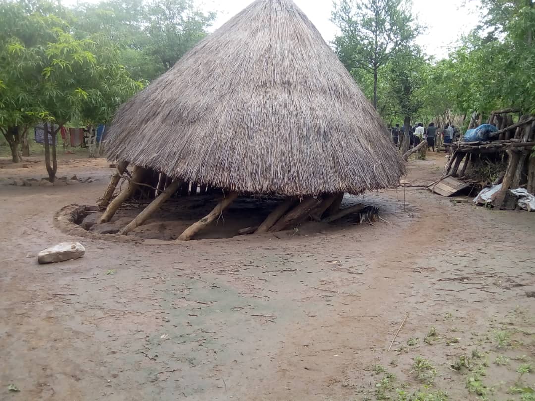
At least 215 homesteads were destroyed by floods on February 10 last year, displacing 967 people and 58 percent of the victims were children.
The affected villages are located on the confluence of Sibwambwa, Sikande, Namapande and Manyenyengwa rivers.
Civild Protection Unit (CPU) director Nathan Nkomo told VicFalsLive that only six out of the 37 homesteads that were destroyed by the heavy rains were being constructed in the Nsungwale area.
“We have already completed about six of the 37 (homesteads) in the Nsungwale area though not yet roofed,” Nkomo said.
“So, I think we are making progress.”
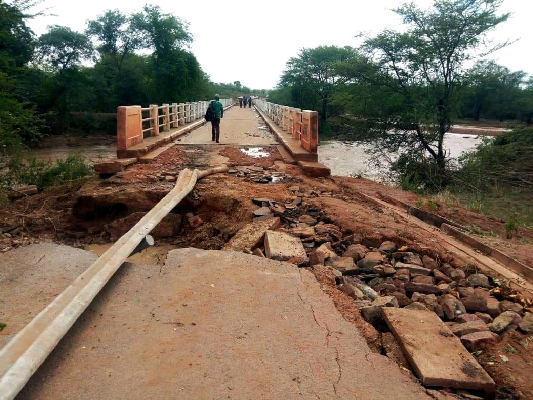
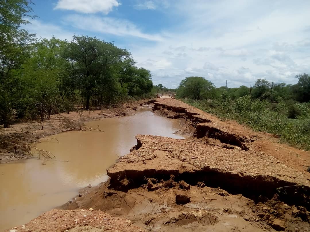
The government is also yet to repair infrastructure such as roads and bridges that was swept away by the floods, which cut off villagers from health centres and schools.
“We need something like $80 million to finish rebuilding those houses, but if you go through our national contingency plan in the 2021-2022 rainfall season, there is a figure of US$101 million which talks of a backlog infrastructure, which requires rehabilitation,” Nkomo said.
“(Chininga Bridge) might be one of those because we came together and all the provinces presented the outstanding works of infrastructure being undertaken in their provinces, so I wouldn’t be surprised.”
The Chininga bridge, which connected Nsungwale and Siabuwa and linked the centres with Karoi, Gokwe and Kariba, was destroyed by the floods.
A report by the National Association of Non-Governmental Organisations said most of the Binga flood victims were vulnerable groups including widows, single parents, orphans, disabled, children under five and chronically ill people.
Some of the Binga flood victims have since deserted the camps that were set up by the CPU citing lack of amenities and food.
Nkomo said it was not true that the flood victims were abandoned by the government.
“In those circumstances people will always say something because they were used to their own ways of living, but as far as we know we have been giving them food when that calamity of flash floods happened,” he said.
“We provided them with almost everything from grains and relish.
“The reason why they keep going back to their destroyed homesteads is because where these rivers meet they deposit some soils, which are very good for agriculture and this is why even in Tsholotsho you see some going back to the confluence of Gwayi and Shangani rivers.
Meanwhile, Nkomo said the CPU was making brokers in building homesteads for victims of Cyclone Dineo in Tsholotsho where 859 people were displaced in 2017.
“We have constructed 280 houses out of the 302 which we must construct. So, we are left with 25,” he said.
“Yes, it has taken more than four years to complete the process, but we are almost there now and the money to complete the 25 houses is in the budget.”
He said $71 million was needed to complete the construction of houses in Tsholotsho.

-

 Slider3 years ago
Innscor launches brewery to produce Nyathi beer
-
 National5 years ago
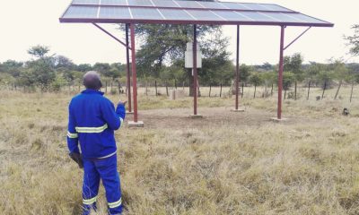
In perched rural Matabeleland North, renewable energy is vital
-

 Tourism and Environment4 years ago
Strive Masiyiwa’s daughter opens luxury Victoria Falls lodge
-

 Special reports4 years ago
Tinashe Mugabe’s DNA show’s popularity soars, causes discomfort for some
-

 Opinion4 years ago
A street art mural in Zimbabwe exposes a divided society
-

 National4 years ago
Victoria Falls’ pilot dies in helicopter crash
-
 National3 years ago
Commission of inquiry findings fail to be tabled as Victoria Falls councillors fight
-
 National3 years ago
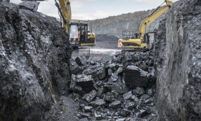
Hwange coal miner fires workers over salary dispute